

NAVIGATION SYSTEM
-
Inertial Navigation and Global Positioning System (INGPS)
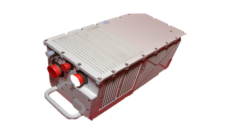
- Inertial navigation is a process which allows a vehicle to locate itself in space (position, speed and attitude). INGPS is based on “strap-down” navigation systems. In such systems, all output values are calculated based on information delivered by the angular rotation (Ring Laser gyros) and linear acceleration (accelerometers) detectors. GPS Information is used to compensate the effect of inertial parameters drift, in order to compute optimal navigation data. The INS/GPS (Inertial Navigation System/ Global Positioning System) SIGMA 95 is a Strap down Inertial Navigation Unit (INU) based on Ring Laser Gyro, accelerometers and GPS receiver. It is licensed from M/s Sagem France now M/s Safran Defence & Electronics, France.
-
GPS GLONASS GAGAN Inertial Navigation System (G3INS)
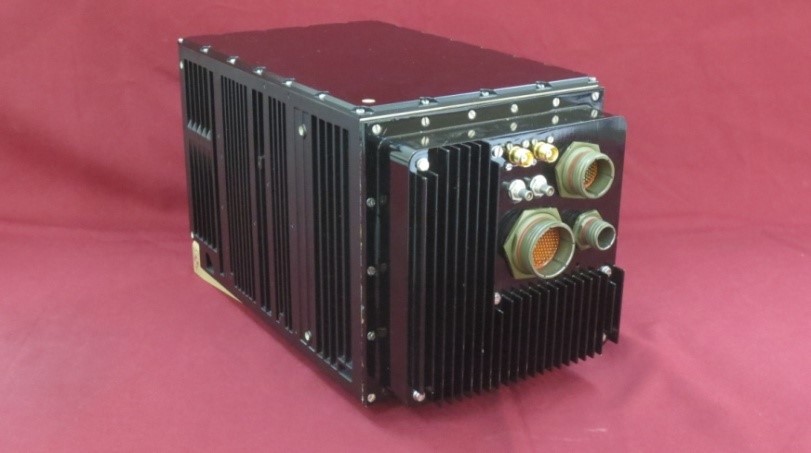
- An indigenous inertial system with an embedded GPS receiver that provides aircraft peripheral equipment with all necessary inertial inputs. The indigenous navigation system is compatible with GPS, GLONASS & GAGAN. The system has the option of added IRNSS capability also.
-
Strap Down Attitude & Heading Reference System
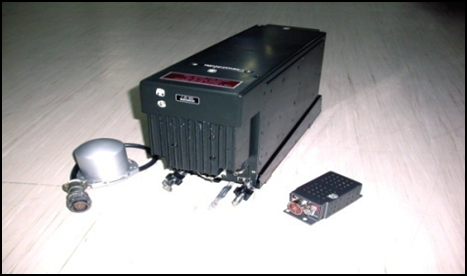
- Strap Down Attitude & Heading Reference System is a sensor for sensing angular movement of aircraft such as pitch, Roll, & Heading and dynamic parameters such as angular velocity, linear acceleration etc. The unit has two dry tuned gyroscopes and three numbers of servo accelerometers. It is a standby Inertial Navigation Sensor in case of failure of main INGPS.
-
INERTIAL MEASURING BLOCK
- INERTIAL MEASURING BLOCK is meant for determining and sending of components of linear acceleration( aX, aY, aZ) and components of absolute angular speed (wX, wY, wZ ) along mutually perpendicular axes of the aircraft in flight (with X- axis directed along the longitudinal axis of aircraft) for positioning of RADAR antenna. The unit has two dry tuned gyroscopes and three numbers of servo accelerometers.

-

Blog
no posts found message goes here...